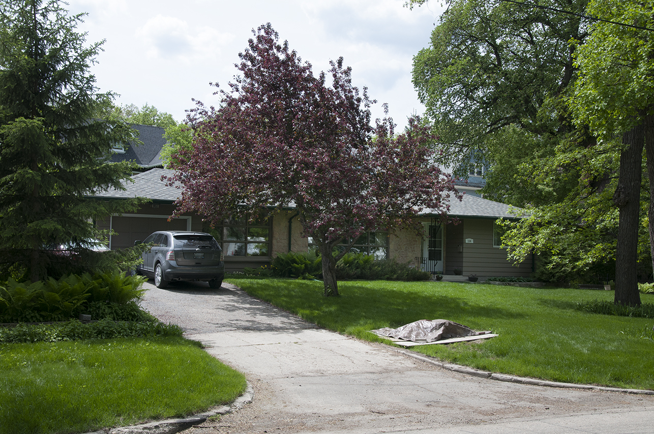
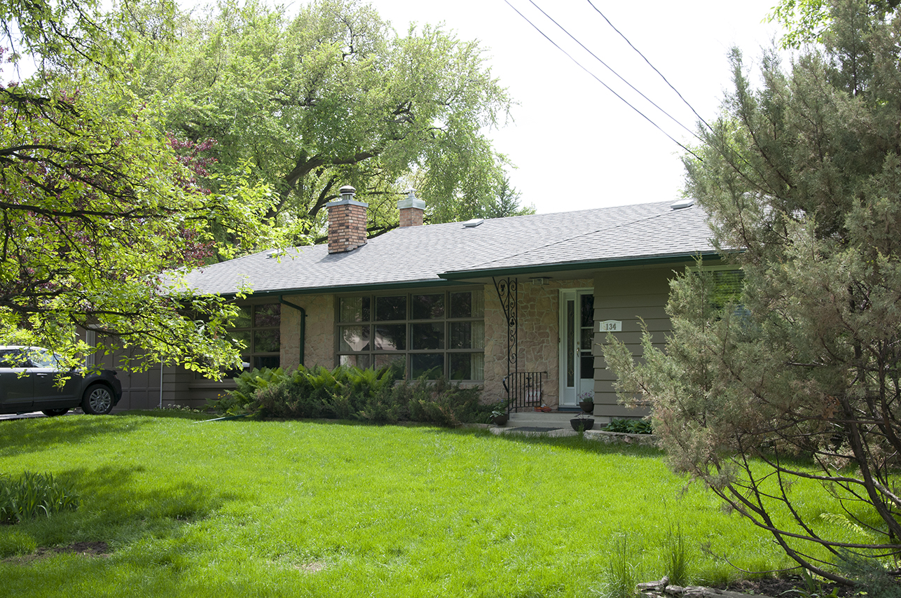
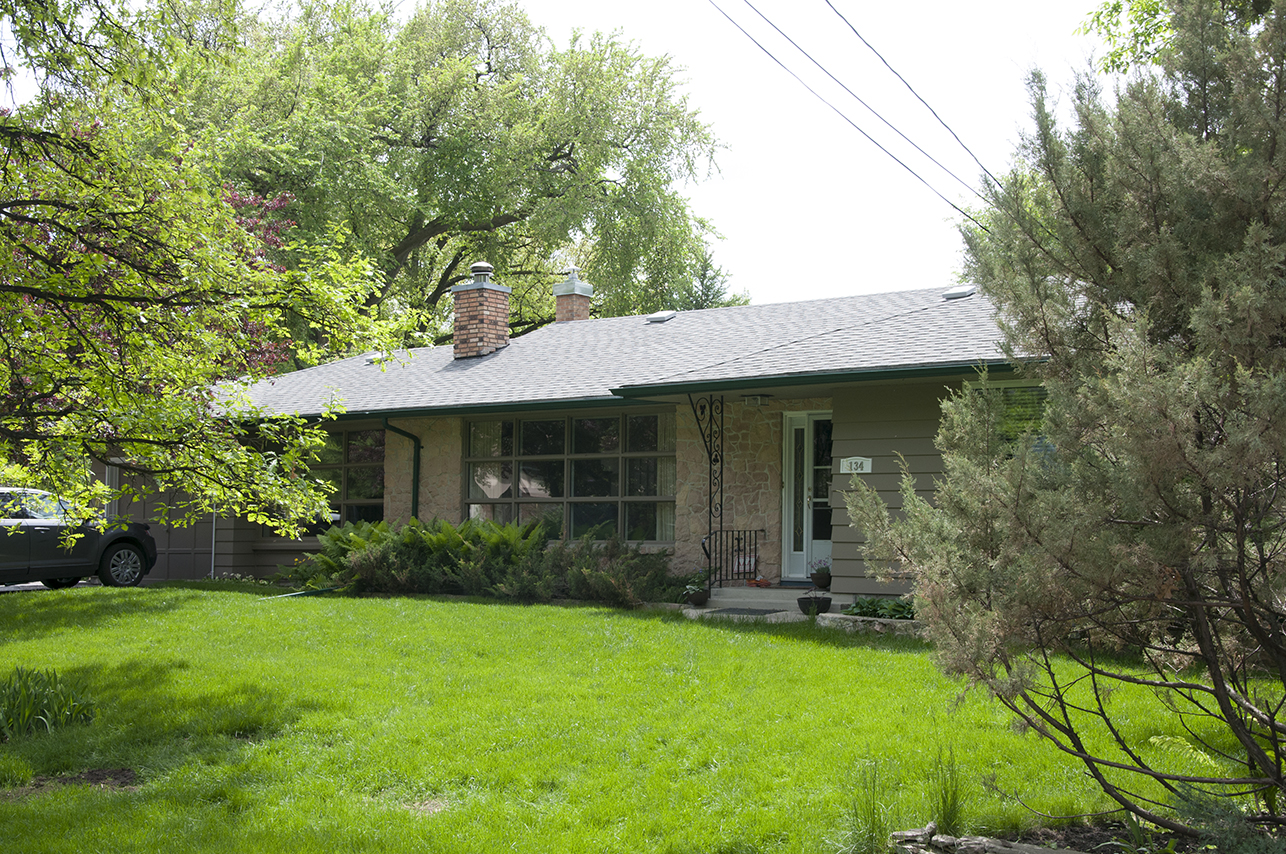
134 Middle Gate
| Former Names: |
|
|---|---|
| Address: | 134 Middle Gate |
| Original Use: | Dwelling |
| Constructed: | 1956 |
| Architects: |
|
| Contractors: |
|
More Information
Armstrong’s Point, is a 21.8 hectare residential district, sited within a promontory formed by the winding Assiniboine River. The headland is physically isolated from the surrounding West End neighbourhood both by its peninsular shape, and by the gates located on each of the neighbourhood’s three entrances — Middle, West and East Gates. These gates were designed by the architect Lt. Col. Henry Norland Ruttan in 1911, and designated by the City of Winnipeg as historically significant in 1993.
Armstrong’s Point received its historic name in the mid-1800s, when the land was first granted by the Hudson’s Bay Company to Captain Joseph Hill. Hill left the area five years later, leaving his batman, or personal servant, James Armstrong, to oversee the property. A rise in property and land values encouraged Hill’s later return and he reestablished title on the land, later selling it to a speculator’s syndicate.
This was a subdivision built by early property owners, rather than a developer, and construction began in the semi-rural subdivision in 1882. By 1904 there were 20 homes within the development, with the most concentrated period of growth between 1910 and 1920. Historically the neighbourhood has been a suburban haven for upper-middle class families, and the neighbourhood’s original homes were sizeable, beautifully detailed dwellings sited on generous landscaped lots with winding drives and extensive gardens. Of the over 100 homes on the Point, 75 are on the City of Winnipeg’s Inventory of Historically Noteworthy Buildings. Ralph Connor House (54 West Gate) home to the University Women’s Club, has been designated municipally and provincially and was named a National Historic Site. Beechmount (134 West Gate) is on the Canadian Registry of Historic Places.
With the expansion of Winnipeg, the demand for land use within the Point intensified and the large lots were subdivided. In the early twentieth century many of the original homes were duplexed or triplexed, with some subsumed by organizations or demolished. Earlier, in 1913, a zoning bylaw was established to protect the area from intensive high-density housing and commercial development, the results of which can be seen today. The post-war demand for housing and the resultant spread and growth of the city saw additional subdividing of the previously vast lots, and the insertion of a number of modern bungalows and ranch-style homes.
Design Characteristics
| Doors: | The main entryway is located at the front of the house raised two steps above grade. The roof eave extends over the entryway creating a protective overhang. The entry is covered by a single door with integrated light. |
|---|---|
| Roof: | hip Hip roof with a shallow depth eave |
| Materials: | siding, stone |
| Height: | 1 storey |
| Size: | 1,524 square feet (464.52 square metres) |
| Style: | Ranch Six room ranch style house |
| Neighbourhood: | Armstrong's Point |
| Frontage Direction: | South west |
Sources
Basham, Ardythe Ed. Rising to the Occasion: A Community History of Wolseley, West Broadway and Armstrong’s Point. Winnipeg: Robert A. Steen Memorial Community Centre, 2000.
Rostecki, Randy R. Armstrong’s Point: A History. Winnipeg: Heritage Winnipeg Corporation, 2009.
Locations of Supporting Info
Province of Manitoba, Legislative Library
The Provincial Archives of Manitoba
City of Winnipeg, Planning Property and Development: Heritage Department
City of Winnipeg Archives
The Manitoba Historical Society
Heritage Winnipeg
The Armstrong’s Point Association


