Buildings
71 Agassiz Drive
| Address: | 71 Agassiz Drive |
|---|---|
| Original Use: | Dwelling |
| Constructed: | 1964 |
| Architects: | Unknown |
More Information
The neighbourhood of Agassiz Park (also known as University Heights, College Heights and the University Crescent Subdivision) was originally part of the Rural Municipality of Fort Garry. In 1972 it was amalgamated into Winnipeg as part of the broader effort to expand the city through the consolidation of previously outlying municipalities.
This small subdivision is bound by Bishop Grandin Boulevard to the south, University Crescent to the west, the Red River to the east and the former Southwood Golf and Country Club to the north.
Agassiz Park includes approximately 200 homes, predominantly bungalows, constructed in the early 1960s. Many of the homes were built by Elias Construction Ltd., a Winnipeg-based company also responsible for the nearby Clarence Avenue subdivision in Fort Garry. The display homes had five separate floor plans; a Winnipeg Free Press advertisement, with an illustration of the neighbourhood model home located at 24 Glengarry Drive, stated: "pick the home you've wanted from a wide variety of proven floor plates. A house designed for convenience and gracious living is an investment in the future.” (9 September 1961)
Instead of back lanes, the residential lots have front drive access, each extending to one of five gently curving streets oriented around a centrally located elementary school. The vehicle-oriented subdivision has no sidewalks and is accessed via two entrances extending off of University Crescent. Green space within the neighbourhood includes the Bishop Grandin Greenway and Glengarry Park, a narrow band of public land that separates the river-facing homes on D'arcy Drive from the Red River.
Design Characteristics
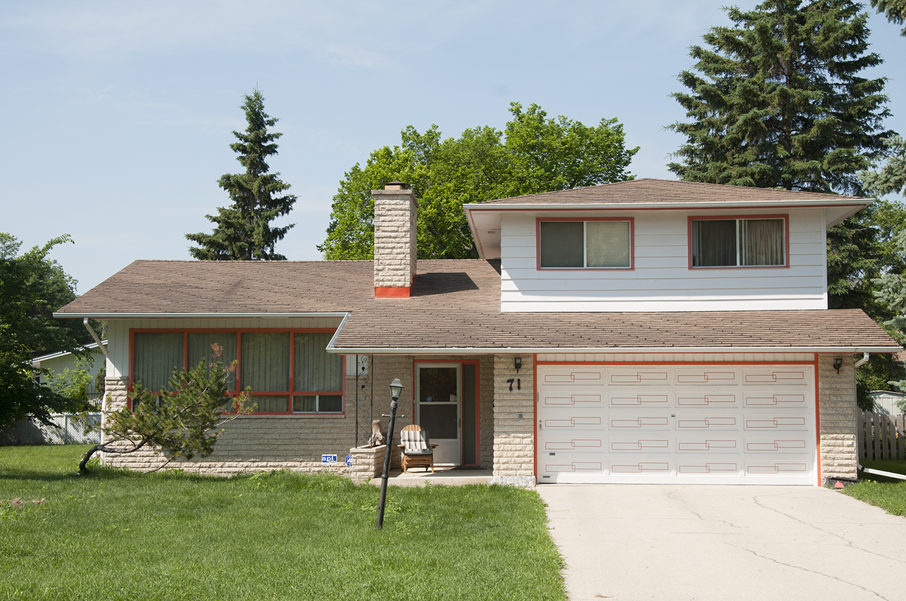
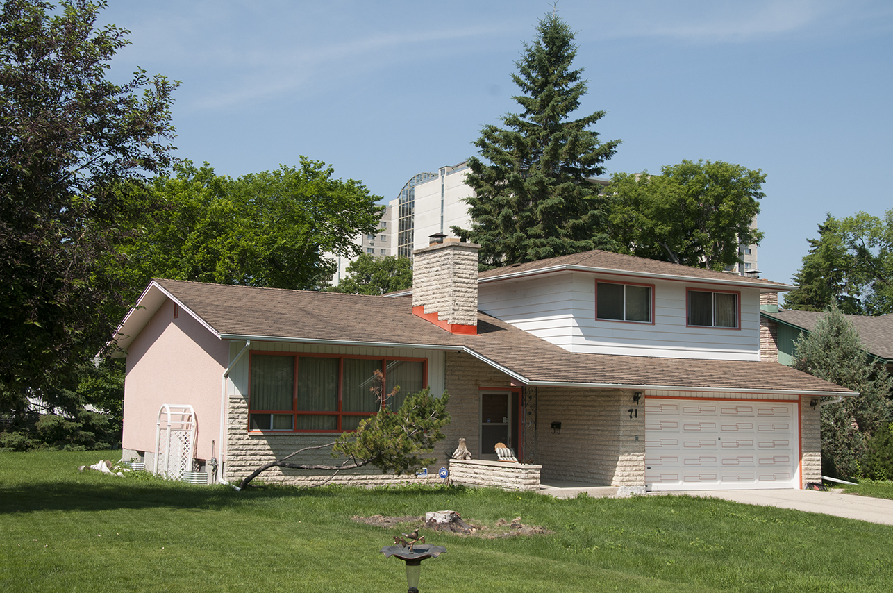
| Materials: | Tyndall stone and wood siding |
|---|---|
| Size: | 1,823 square feet |
| Style: | Split level |
| Suburb: | Agassiz Park, University Heights |
| Garage: | Attached double garage |
| Frontage Direction: | North east |

