Page 158
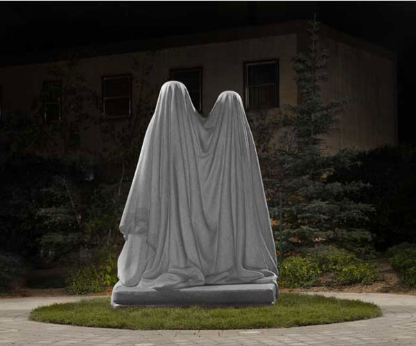
Sentinel of Truth
251 Donald Street (in Millennium Library Park)
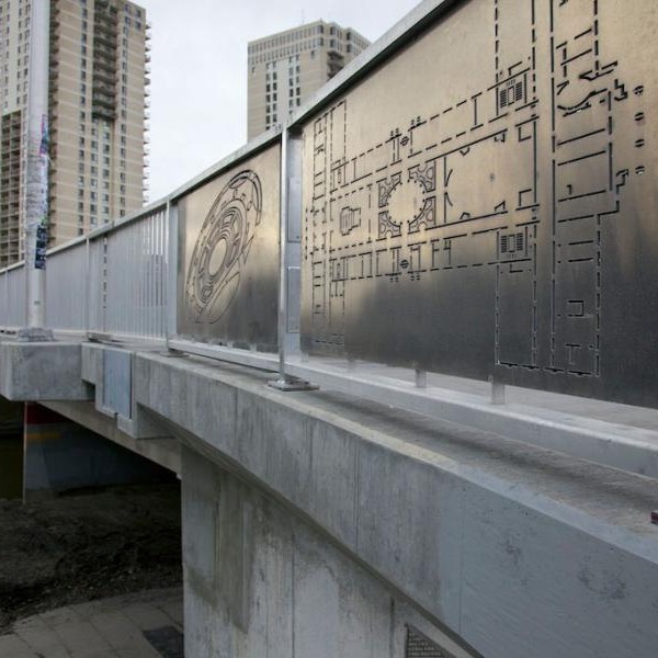
From Here Until Now
Osborne Bridge, Osborne Village
Monument
219 boulevard Provencher (in Jardin de Sculptures, La Maison des Artistes Visuels Francophones)

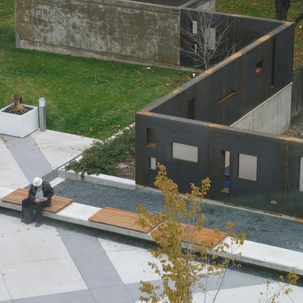
Emptyful
251 Donald Street (in Millennium Library Park)
DIY Field
400 Cumberland Avenue (in Central Park)
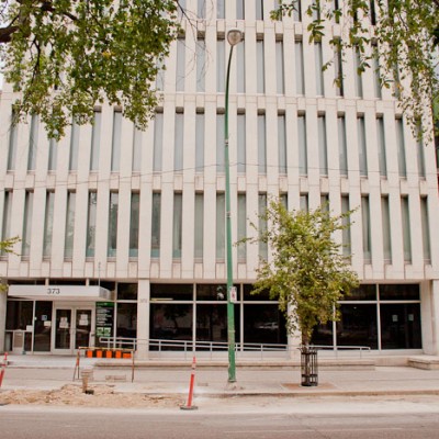
373 Broadway
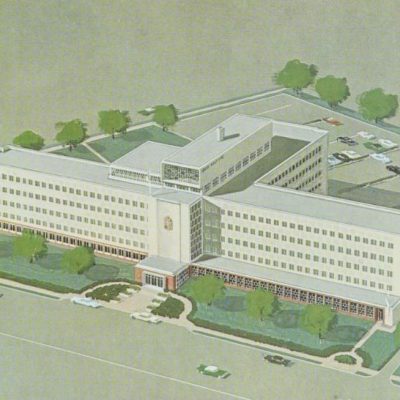
Winnipeg Clinic
425 St. Mary Avenue (217 Vaughan Street)
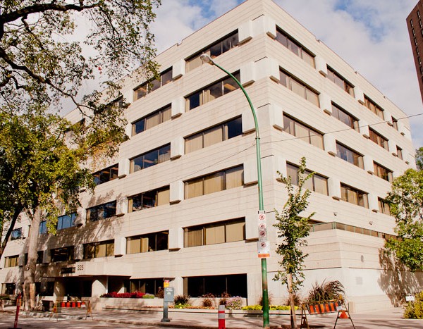
325 Broadway
325 Broadway

354 Broadway
Worker's Compensation Board of Manitoba
333 Broadway

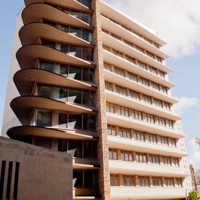
Lion's Manor
320 Sherbrook Street
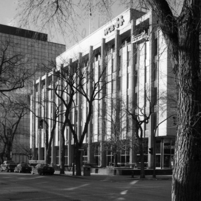
Canada Life
60 Osborne Street North