Page 142
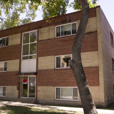
Cornell Apartments
47 Carlton Street

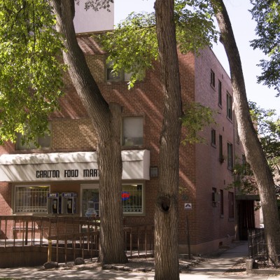
St. Moritz Apartments
50 Carlton Street
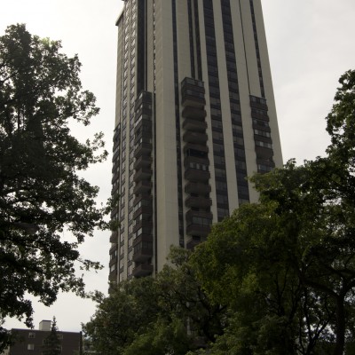
Brighton Apartments
30 Carlton Street
55 Nassau Street North
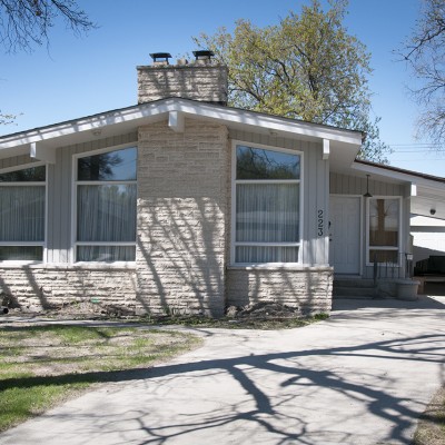
223 Lodge Avenue
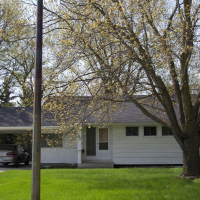
102 Keating Avenue
- Français
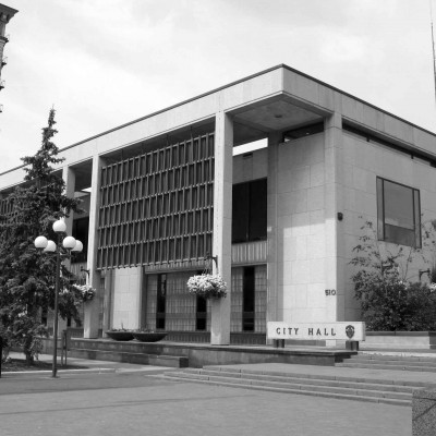
Centre municipal de Winnipeg (hôtel de ville et Immeuble de l’administration)
510, rue Main
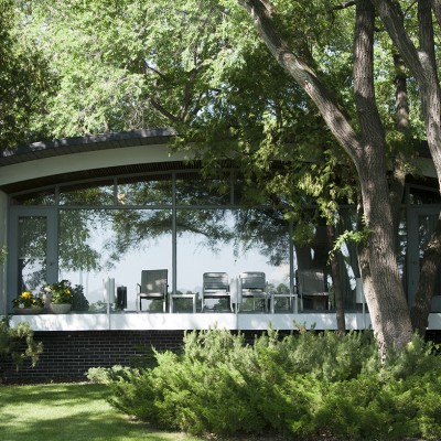
260 Victoria Crescent
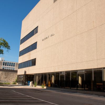
Machray Hall, University of Manitoba
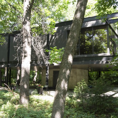
186 Dysart Road
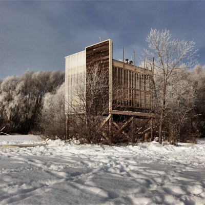
Oxbow Field Station, University of Manitoba
Faculty of Agriculture Point Lands
75 D'Arcy Drive
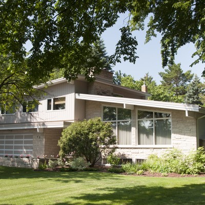
73 D'Arcy Drive