Page 187
Ralph Maybank School
20 Donnelly Street
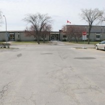
General Vanier School
18 Lomond Boulevard
Christ the King School
12 Lennox Avenue
École Van Belleghem
10 Vermillion Road
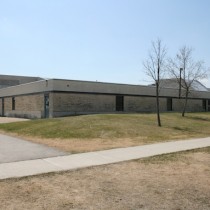
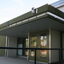
Ryerson School
10 Ryerson Avenue
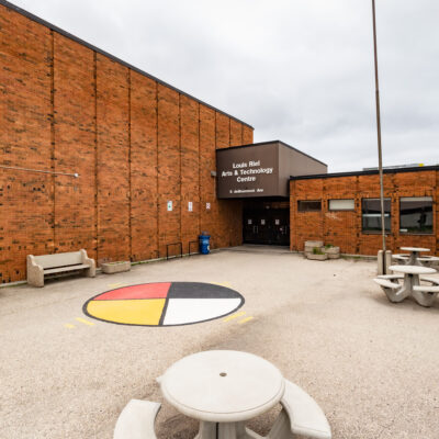
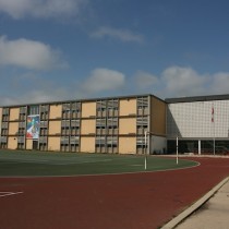
Louis Riel Arts and Technology Centre
5 De Bourmont Avenue
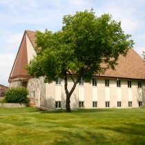
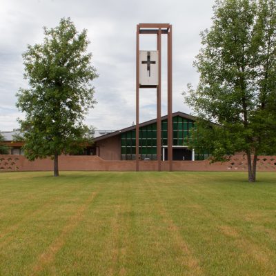
Canadian Reformed Church
211 Rougeau Avenue
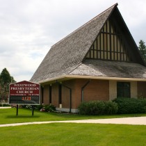
Westwood Presbyterian Church
197 Browning Boulevard
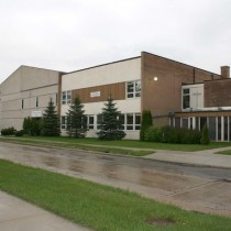
Gordon Bell High School
3 Borrowman Place
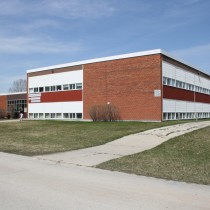
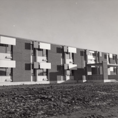
Jameswood Alternative School
1 Braintree Crescent
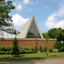
St. Vital Roman Catholic Parish Church
1629 Pembina Highway
Westworth United Church
1750 Grosvenor Avenue