Page 152
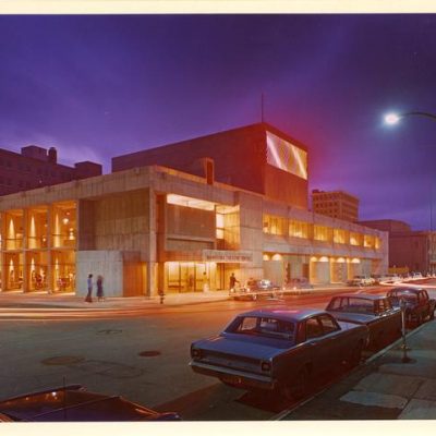
Royal Manitoba Theatre Centre
174 Market Avenue
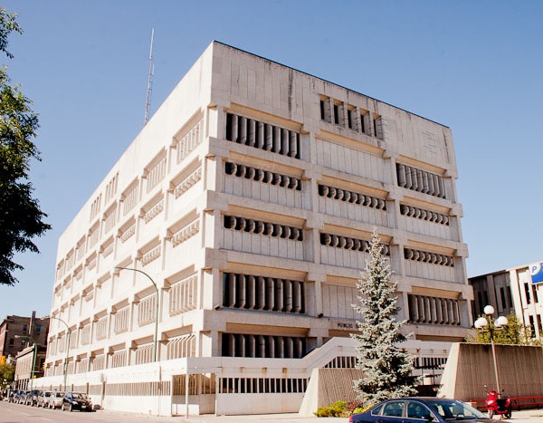
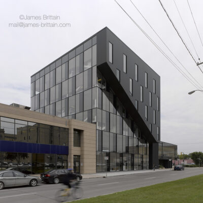
Public Safety Building
151-171 Princess Street
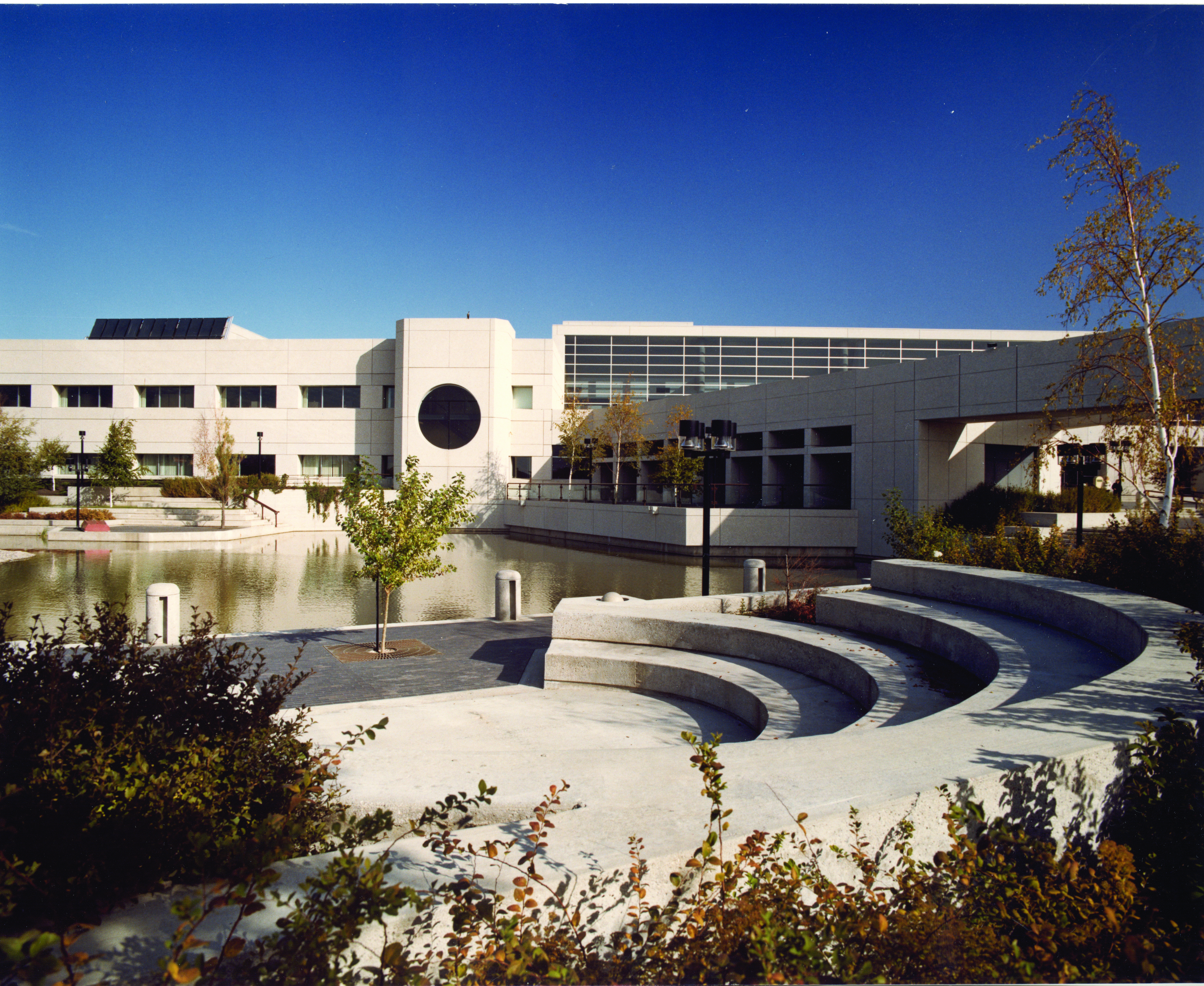
Revenue Canada Winnipeg Taxation Centre
66 Stapon Road (at Reenders Drive)
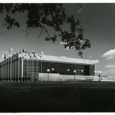
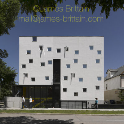
Pan Am Pool
25 Poseidon Bay (at Carter Avenue)

St. Boniface Police Station, County Court and Health Unit
227 Provencher Boulevard
youCUBE
530 Waterfront Drive
WRHA
490 Hargrave Street
Welcome Place
521 Bannatyne Avenue
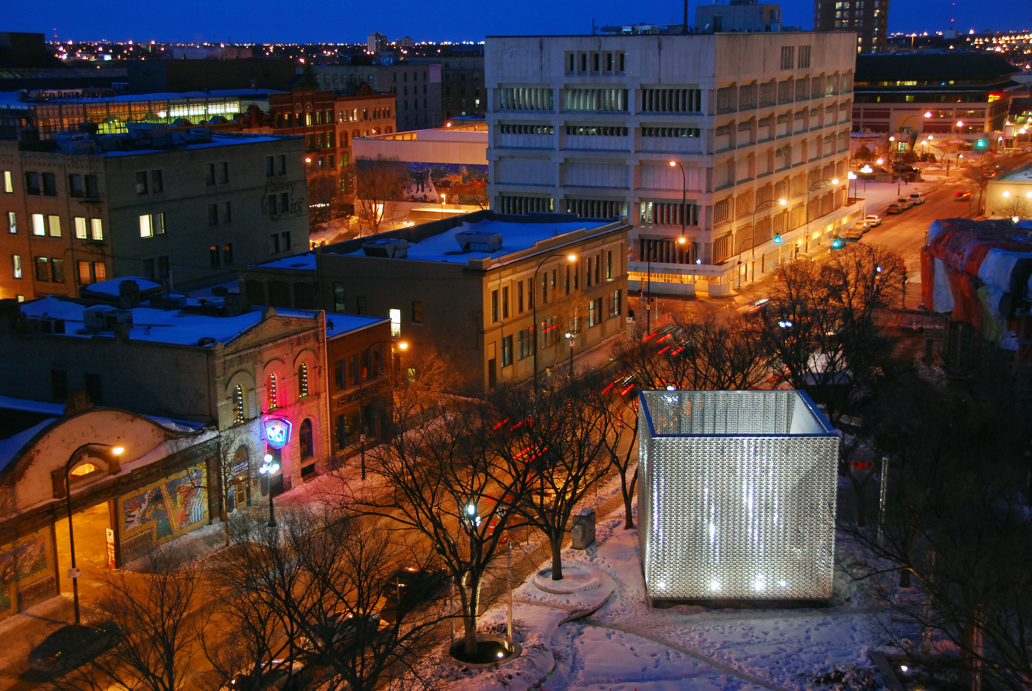
Old Market Square (OMS) Stage, The Cube
131-133 Letinsky Place, Exchange District
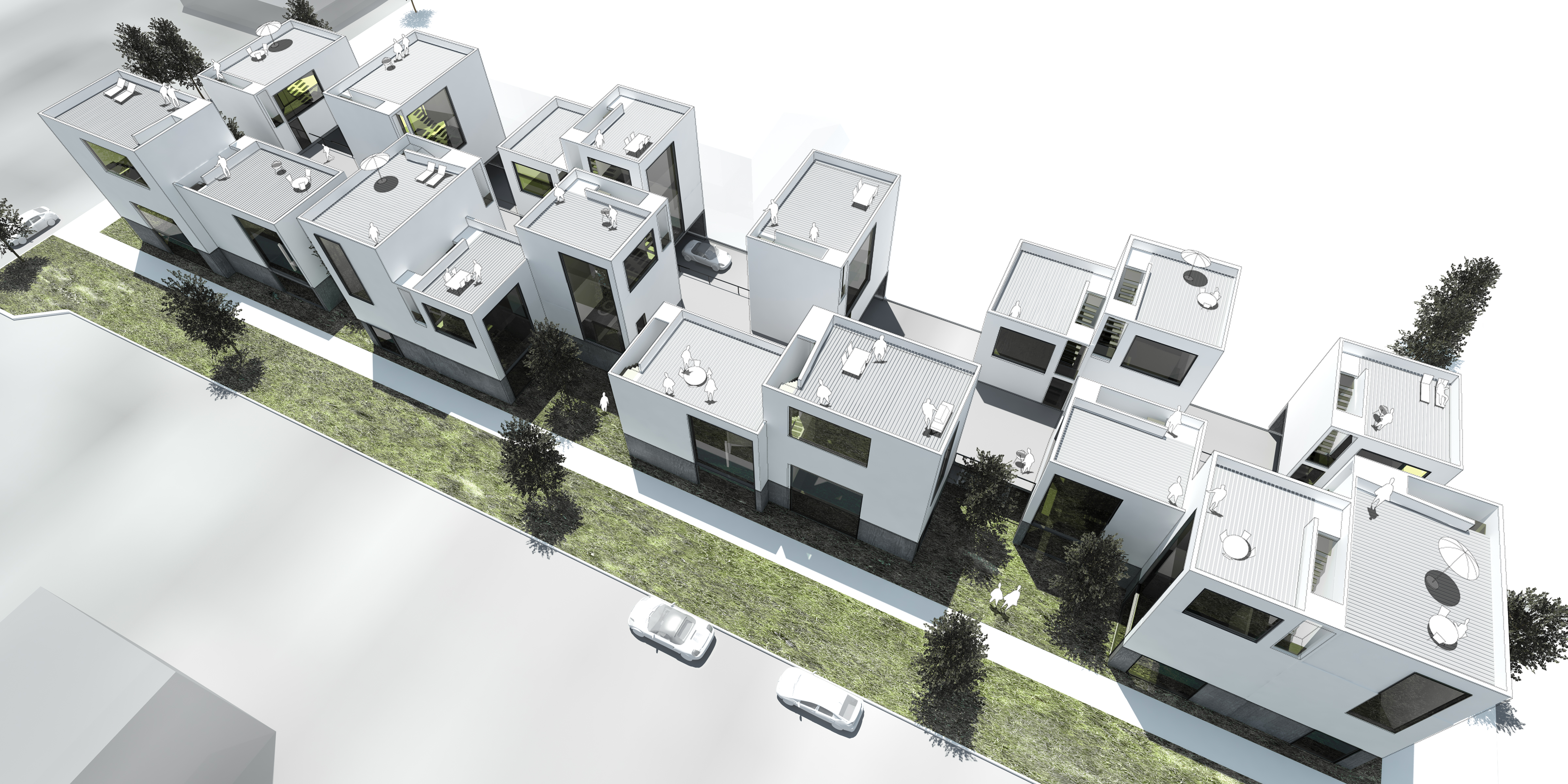
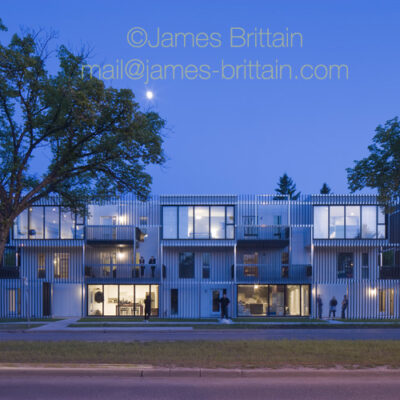
Centre Village
545-589 Balmoral Street
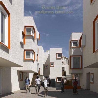
Bloc_10
1530 Grant Avenue
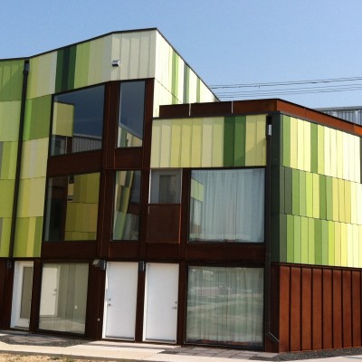
BGBX
791 Wall Street